BAGINI GLACIER TREK
Brief Description
Overview
Region: Garhwal, Uttarakhand
Trekking Altitude: Max(4516 mtrs)
Grade: Easy to Moderate
Total Trekking Distance: 54 Kms
Best Season: The ideal season is from early May to end of June. There is a small window in late autumn, from mid September (after the monsoon has withdrawn) to mid/end of October (before winter sets in).
Temperature Range: -5°C to 20°C.
Brief Information
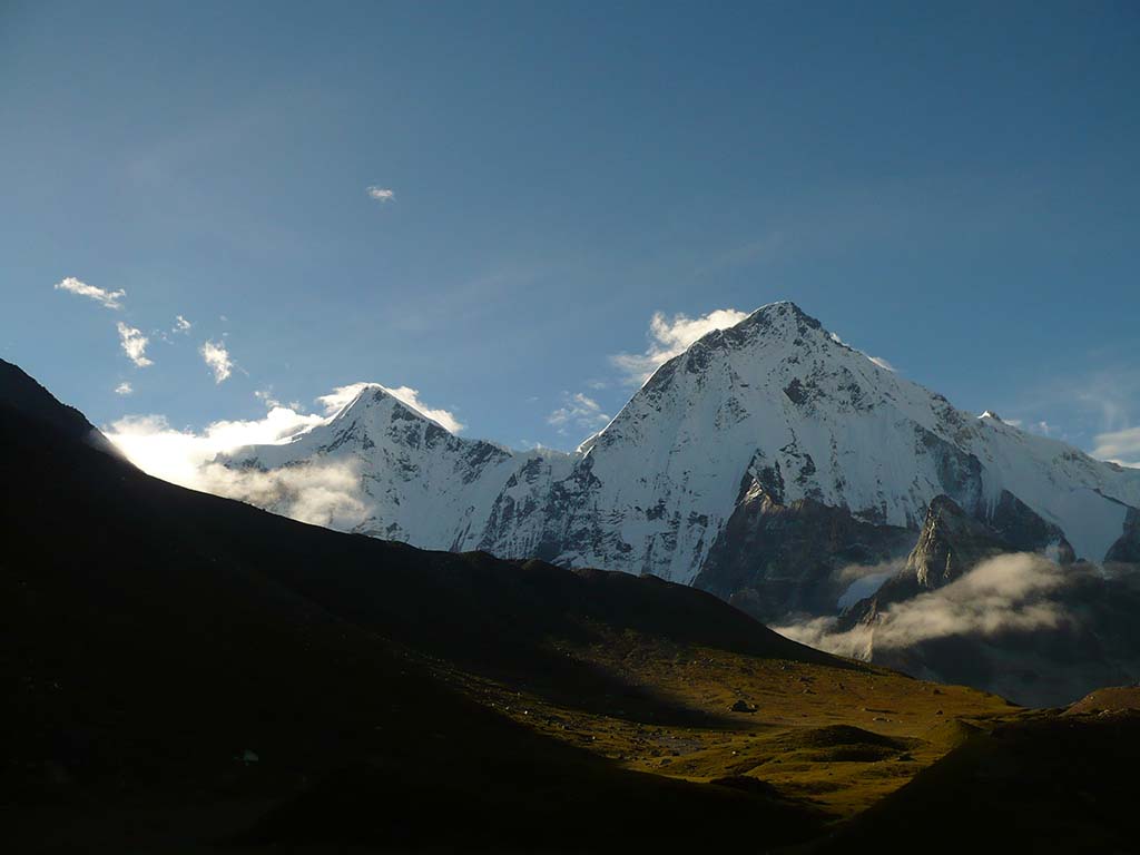
One of the lesser explored treks of the Garhwal region; this is one for the adventurer who revels in solitude and unspoiled beauty. The Bagini Glacier is located in the North West of Chamoli division of Garhwal and is the base camp for expeditions to Rishi Parvat, Changabang Peak and Kalanka Peak. It is surrounded on three sides by giant peaks between 6000 to 7000 meters, many of them being spectacular, yet unnamed! Another unique aspect about this trek is that the Bagini Glacier camp offers rarely seen views of Mt. Hardeol, Mt. Trishuli and Mt. Trishuli West, along with rare views of the Eastern peak – Purvi Dunagiri.
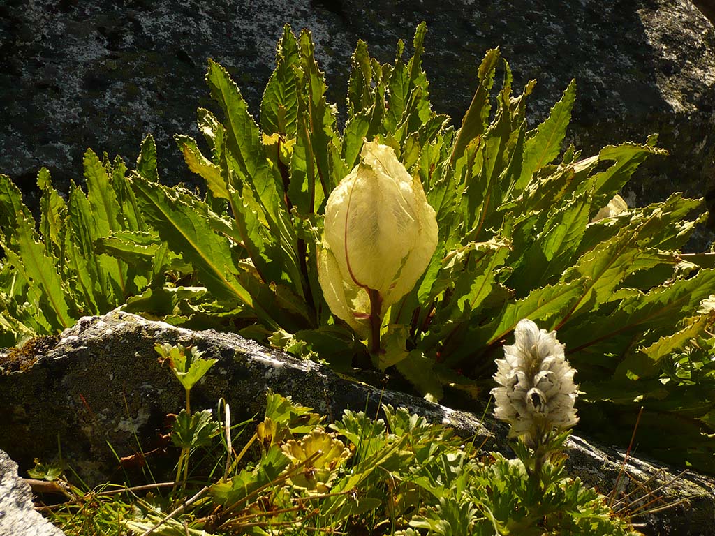
This is also one of the few treks where you not only get to sense the glorious bounty of sweet scented yellow Himalayan Thyme and violet Primula flowers, but also get to camp right at the base of a glacier! From the Changabang base camp, you get a remarkable view of the North face of Hathi and Ghora peaks alongwith the Trishuli giants. For what is a relatively easy trek, it is exceptional in the mountaineering experience it offers, taking you right to the foot of the giant peaks that loom over you majestically.
Short Itinerary
Day 1: Drive from Delhi to Rishikesh (250 Kms, 5 to 7 hrs), Overnight stay in hotel at Rishikesh
Day 2: Drive from Rishikesh to Joshimath (255 Kms, 7 to 8 hrs), Overnight stay in hotel at Joshimath
Day 3: Drive from Joshimath to Jumma (44 Kms, 1 to 2 hrs) and trek to Dronagiri Village 11840 ft/3610 mtrs via Ruing Village 9180ft / 2800 mtrs, 11 Kms trek.
Day 4: Trek from Dronagiri Village to Bagini Base camp 14700 ft/ 4484 mtrs, 10 Kms trek, Overnight camping
Day 5: Trek from Bagini Base Camp to Changabang Base Camp via Bagini Glacier 14816 ft/4516 mtrs & back to Bagini Base Camp 12 to 14 Kms approx,Overnight camping
Day 6: Trek from Bagini Base Camp 2 to Dronagiri Village, 10 Kms trek, Overnight camping
Day 7: Trek from Dronagiri Village to Jumma, 11 Kms trek, Drive from Jumma to Joshimath (44 Kms, 1 to 2 hrs), Overnight stay in hotel at Joshimath
Day 8: Drive from Joshimath to Rishikesh (255 Kms, 7 to 8 hrs), Overnight stay in hotel at Rishikesh
Day 9: Drive from Rishikesh to New Delhi (250 Kms,5 to 6 hrs)
Essential: Do's and Don't / Things to Bring / Inclusion and Exclusion (PDF)
Bagini Glacier Trek - Fact and Info (PDF)
Bagini Glacier Trek - Detailed Itinerary (PDF)
Fact & Info
INTERESTING FACTS/INFORMATION ABOUT THE PLACE
Nanda Devi National Park
Nanda Devi National Park
The Nanda Devi National Park is situated around the Nanda Devi peak, in Uttarakhand and has been inscribed as a World Heritage Site by UNESCO. Within the Park lies the Nanda Devi Sanctuary that is a towering ring of peaks ranging between 6,000 to 7,500 meters high. This is the legendary ring that encompasses the Nanda Devi peak and makes it extremely difficult to summit. The Sanctuary is further divided into the Outer and the Inner Sanctuary with the river Rishi Ganga flowing through a deep gorge from the Inner ring to the outer Sanctuary where it meets the Dhauli Ganga. This virtually impassable ring can best be approached from the lower height (13,000 feet) Outer Sanctuary region in the West, which is also home to the Changabang Glacier and the Bagini Glacier.
Dronagiri Peak and Village Dronagiri (or Dunagiri) Peak has a steep face that rises sharply into the sky with part of it looking as if it has been chopped off. There is a famous legend about the peak, associated with Lord Hanuman and his quest for the Sanjivani herb.
It is said that when Lord Hanuman was sent to search for the Sanjivani herb to help cure Lakhsman’s wounds, he landed in the Dronagiri village where he met an old lady who gave him directions to the peak and where to find the herb. Hanuman found the herb but instead of only picking it up, he sheared off half of the peak, giving it the unique shape that it has now, and took it to Lanka so that there would be enough supplies to cure wounded soldiers as well. Seeing their sacred mountain being defiled in such a manner, the past residents of the Dronagiri village refused to pray to Lord Hanuman. However over time, the villagers have now reconciled and this is no longer the case. There is also a legend that every year a monkey arrives near the village inexplicably (since there are no monkeys in the vicinity) and despite attempts to find out its whereabouts, it seems to disappear again for a year.
Changabang Peak is part of the peaks that form the northeast outer wall of the Nanda Devi sanctuary and is an extremely steep and rocky peak. While it is lower in height as compared to its immediate neighbor Mt. Kalanka and also most of the peaks surrounding it, the peak immediately draws attention with its striking steep profile that makes it stand out among giants. It also has a reputation of being an extremely difficult peak to summit with all routes being quite technical. Changabang Peak is part of the peaks that form the northeast outer wall of the Nanda Devi sanctuary and is an extremely steep and rocky peak. While it is lower in height as compared to its immediate neighbor Mt. Kalanka and also most of the peaks surrounding it, the peak immediately draws attention with its striking steep profile that makes it stand out among giants. It also has a reputation of being an extremely difficult peak to summit with all routes being quite technical.
RudraprayagEn route to Joshimath, we come across five holy confluences (Panch Prayag) of the Alaknanda river (that later on forms the river Ganga). Among these five confluences, perhaps the most popular is Rudraprayag (where the Mandakini river joins the Alaknanda river). It is known not only in legends but also in popular English literature, having found mention in Jim Corbett’s diaries about the man eating leopard of Rudraprayag. It has a number of interesting places worth visiting, a few of which are listed below.
Koteshwar templeThis is a unique temple dedicated to Lord Shiva, built within the natural caves along the rocky cliffs. It literally means the temple of 10 million Gods! (“Koti” means a crore or 10 million, while “Ishwar” means God)
Rudranath TempleAnother temple dedicated to the Rudra (Lord of Music) form of Lord Shiva. Ancient mythology talks about a black rock called Narad Shila where Narad Muni worshipped Lord Shiva in order to learn music (unfortunately this rock is no longer visible as it got submerged during the 2013 Uttarakhand floods)
Shree Tungeshwar Mahadev TempleThis is a centuries old temple, en route to Chopta, that has ancient terracotta style seals and Shiva-Parvati figuring along its walls.
BasukedarThis is a very old (almost 1000 years old) temple dedicated to Lord Shiva, believed to have been built by the Pandavas. It is off the usual route, about 35 kms away from Agastyamuni and due to its secluded location, it is an amazing spot for meditation. The name Basukedar was given to the temple as it is believed that Lord Shiva stayed for a while at this location en route to mount Kailash (Kedarnath)
TapovanWhile en route to our trek start point, we will drive through Tapovan, a beautiful little wooded hamlet that literally means forest of meditation. It is 15 Kms away from Joshimath and has hot springs and a small temple. It is the one of the start/end points of the Curzon Trail.
JoshimathThe name Joshimath is derived from “Jyotir-math” where “math” can be translated as a monastery. It is the northernmost monastery among those established by the seer Adi Shankaracharya, who had travelled extensively in the Garhwal Himalayas. It lies in the Chamoli district, and is the base for a number of treks and expeditions to some of the highest and most picturesque peaks in India. It has a number of interesting temples with their associated myths, none more so than the Narsinh Temple.
Narsinh TempleThis is the main temple of Joshimath and is dedicated to Lord Vishnu in his avatar of “Narsinh”, half man and half lion. As per the local mythology, if and when the right hand of this idol of Narsinh breaks (and it is currently on the verge), the mountains of Jay-Vijay en-route to the Badrinath shrine, will come together in a cataclysmic event, and the deity of Lord Badrinath in the Badrinath shrine shall disappear and re-appear from the ground as a solid black stone, 10 Kms away from Joshimath at Bhavishya Badri. This may not seem far removed from a possible disaster, since the region lies on a highly sensitive fault line and is prone to seismic events.
Bagini Glacier Trek - Fact and Info (PDF)
Detailed Itinerary
Day 1: Drive from Delhi to Rishikesh (250 Kms, 5 to 7 hrs), Overnight stay in hotel at Rishikesh
We meet in Delhi and begin our drive as early as possible, so that there is some time to explore Rishikesh in the evening. The drive by itself is unspectacular until we come across the holy ghats of Haridwar where we will skirt the wide and swift flowing river Ganga. From this point on, the road gets more interesting with a climb up the wooded foothills of Rishikesh, passing by the various Yoga ashrams and retreats that Rishikesh is known for. Check-in to the hotel and venture out in the evening along the banks of the river Ganga, or enjoy a walk along the Laxman and Ram Jhula, the famous suspension bridges of Rishikesh.
Day 2: Drive from Rishikesh to Joshimath (255 Kms, 7 to 8 hrs), Overnight stay in hotel at Joshimath
We need to start early in the morning for Joshimath since it is a long drive and there can be traffic jams along the route due to the road being narrow. It is a picturesque journey with the lovely blue river Ganga as a constant companion on our right. You can see the colorful kayaks and rafts dotting the spectacular white sands.
After a few hours, the road begins ascending sharply and we will encounter the beautiful confluences of the rivers that make the Ganga, with the Alaknanda being the primary arterial river meeting the others at Rudraprayag, Karnaprayag and Nandaprayag.
We will reach Joshimath by evening and will check into the hotel for a well deserved rest!
Day 3: Drive from Joshimath to Jumma (44 Kms, 1 to 2 hrs) and trek to Dronagiri Village
1840 ft/3610 mtrs via Ruing Village 9180ft /2800 mtrs (11 Kms trek, 3 to 4 hrs), Overnight camping
The drive to Jumma from Joshimath has a few bad sectors and we will need to leave early to make sure we cover it as soon as possible. We will pass the villages of Reni, Lata, Tapovan and Suraithota en route. Keep your eyes peeled for the confluence of Dhauli and Rishi Ganga far below, opposite Reni village. There is a small temple built here which is approachable by a narrow track. In about an hour and a half, we finally reach the village of Jumma where the road ends.
From Jumma, we cross the Dhauli Ganga across a suspension bridge and begin out trek upwards to Ruing village along a well marked forest trail through the conifers that keeps ascending gradually. After about a couple of hours of ascent, we finally come across the quaint village of Ruing with its dual storeyed houses made of wood and stone and slate roofs. We will take a short break here and then carry on towards Dronagiri (or Dunagiri) village, which is a tougher hike as compared to the pleasant gradual climb we have had so far.
The walk to Dronagiri village is characterized by segments of ascent followed by level segments that help ease the effort. Along the way, you will come across many wildflowers and if lucky, quite a few exotic birds as well, commonest of which are the spotted dove and the striped Chukar. The Bagini stream constantly accompanies the trail gurgling over the undulating rocks.
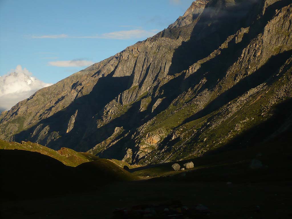
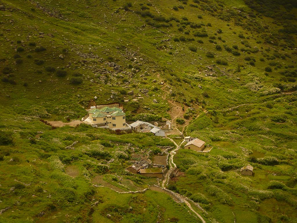
The final couple of kms to Dronagiri are the trickiest as they involve steep ascents and descents through landslide zones and scree that are quite slippery and must be done with caution. Finally after navigating this patch, we will walk along a concrete path that leads to the village of Dronagiri with our first clear view of the snowy peaks in the distance.
Day 4: Trek from Dronagiri Village to Bagini Base camp
14700 ft/4484 mtrs (10 Kms trek, 4 to 5 hrs), Overnight camping. We again begin early in the morning for our trek to Bagini Base Camp via Langatoli. The trail will lead us up a gradual ascent of about a km till the top of the ridge from where the peaks of Trishuli, Hardeol and Purvi Dunagiri are visible. We will now descend down to the true left bank of the Bagini stream. Cross the cemented bridge across the Bagini stream to the other side where you will see two trails, one to the left and one to the right. The trail to the left leads to Kanari Khal which is the ridge that lies behind the Dronagiri village. We will be taking the right trail that leads to Langatoli which is 3 kms away. After a continuous ascent we arrive at the Langatoli campsite which is a level meadow where the Bagini river has carved a large swathe through the rocks. We will take a short break here and then carry on.
From here, the trail goes up along large boulders and rocks and the correct direction can only be ascertained, thanks to the long line of cairns. It is advisable to be very careful while traversing the boulders since it is very easy to miss your step and twist your ankle! Please do not rush and proceed with concentration and confidence.
One of the unique experiences along this route is that post-monsoon, the rocks abound with beautiful fragrant, bright yellow Himalayan thyme flowers that only grow above 4000 meters. Halfway along the walk, we come across the Garuda stream which can be crossed easily in the morning, but can get a bit tricky in the afternoon as the snow melts and swells it up. Thereafter the walk is fairly level and easy until we reach the Bagini Glacier Camp site. From here you can see the massive Upper Bagini glacier bang opposite, with its sheer ice walls and snouts rising through the rocky moraines that cover most of it.
Day 5: Trek from Bagini Base Camp to Changabang Base Camp
15000ft/4572mtrs via Bagini Glacier & back to Bagini Base Camp (12 to 14 Kms, 7 to 8 hrs), Overnight camping.
We need to get started early in the morning again since we have a long haul up to Changabang base camp and then back. The first couple of kms are an easy walk with mostly level walk combined with a few uphill sections along a huge meadow to the true right of the Bagini Glacier. We will need to cross 3 streams which are easy in the morning owing to less water in them. After a while of walking, we finally come to the Changabang Base Camp from where we get an amazing uninterrupted view of Kalanka peak bang in front. However, curiously the Changabang peak is not visible from here and the really amazing view is further ahead after climbing the boulder strewn ridge on the left.
We will continue walking along the meadow that is strewn with a profusion of purple colored Primula flowers post monsoon, until we come to the base of the ridge. The climb up is strenuous since we are now at a pretty high altitude and the steep ascent as well as the lack of atmospheric pressure makes breathing and movement quite difficult. It is recommended to proceed slowly, stopping every few steps to catch your breath. After about 30-45 mins, we will reach the top of the ridge, from where you will witness a stupendous view of the massive peaks Trishuli West, Trishuli Main, Kardeol, Rishi Parbat, Sai Minal, Kalanka and Changabang, appearing close enough in the rarefied air to almost touch! Rest for a while and enjoy the stupendous view before turning back to base camp.
The sunrise from the ridge is spectacular but this can only be viewed if we leave very early in the morning and needs to be discussed with all the members and the trek leader in advance.
Day 6: Trek from Bagini Base Camp to Dronagiri Village
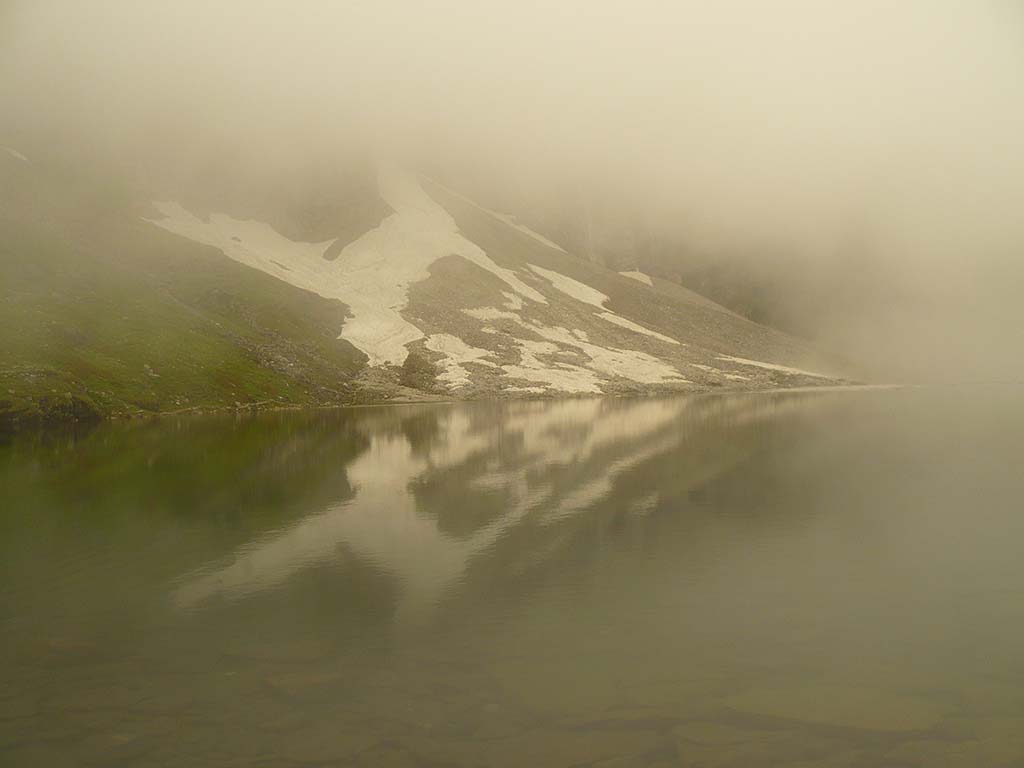
(10 Kms, 3 to 4 hrs), Overnight camping. We will be starting our journey back to civilization, but if we are lucky to be at the Base Camp on a full moon night, it is well worth the effort of waking up very early today to view and photograph the peaks glistening spectacularly in the moonlight. You can also undertake walks along the base camp toward the ridge in the morning to catch a glimpse of Rishi Parbat reflected in the Rishi Kund against the early morning sky.
The route back to Dronagiri village re-traces our way up and is pretty much the same. Take your time and enjoy spotting the various species of birds and flowers that you will spot en route.
Day 7: Trek from Dronagiri Village to Jumma
(11 Kms trek, 3 to 4 hrs), Drive from Jumma to Joshimath(44 Kms, 1 to 2 hrs). The trail from Dronagiri to Jumma village is also the same that we took while coming up and care needs to be taken at the landslide zone to avoid slipping and causing serious injuries! The highlights of the route are the superb views we get of the Bagini river flowing through the gorge far below and the snow peaks in the background. Descending takes a toll on the legs, so you need to be careful till we reach Ruing village.
After Ruing it is a fairly easy walk down till Jumma village from where we will drive back to Joshimath where we will halt for the night.
Day 8: Drive from Joshimath to Rishikesh
(255 Kms, 7 to 8 hrs), Overnight stay in hotel at Rishikesh. The drive from Joshimath to Rishikesh is pretty long and follows the gushing Alaknanda far below on the right hand side. Watch out for the fantastic views of the river confluences at Rudraprayag, Devprayag and Karnaprayag. While the journey is beautiful, it is also quite a thrilling drive, with the narrow roads and the deep gorges along one side.
Near Rishikesh, you will see a number of adventure operators offering kayaking and river rafting and you can see resorts and rafting camps on the white river sands. We should be able to reach by around late evening and can take a relaxed break walking around town later in the night.
Day 9: Drive from Rishikesh to New Delhi
(250 Kms, 5 to 6 hrs) From Rishikesh to Haridwar, we descend along forested slopes, paralleling the river Ganga. The drive from Haridwar onwards to New Delhi is through the plains via Roorkee, Meerut and Ghaziabad and is almost an anti-climax after the beautiful time spent amidst the sublime Himalayan beauty.
