Kinner kailash circuit Parikrama Trek
Brief Description
Overview
Region: Shimla Kinnaur region
Trekking Altitude: Max (5242 mtrs)
Grade: Difficult
Total Trekking Distance: 56 Kms
Best Season: June to September
Temperature Range: -2°C to 15°C.
Brief Information
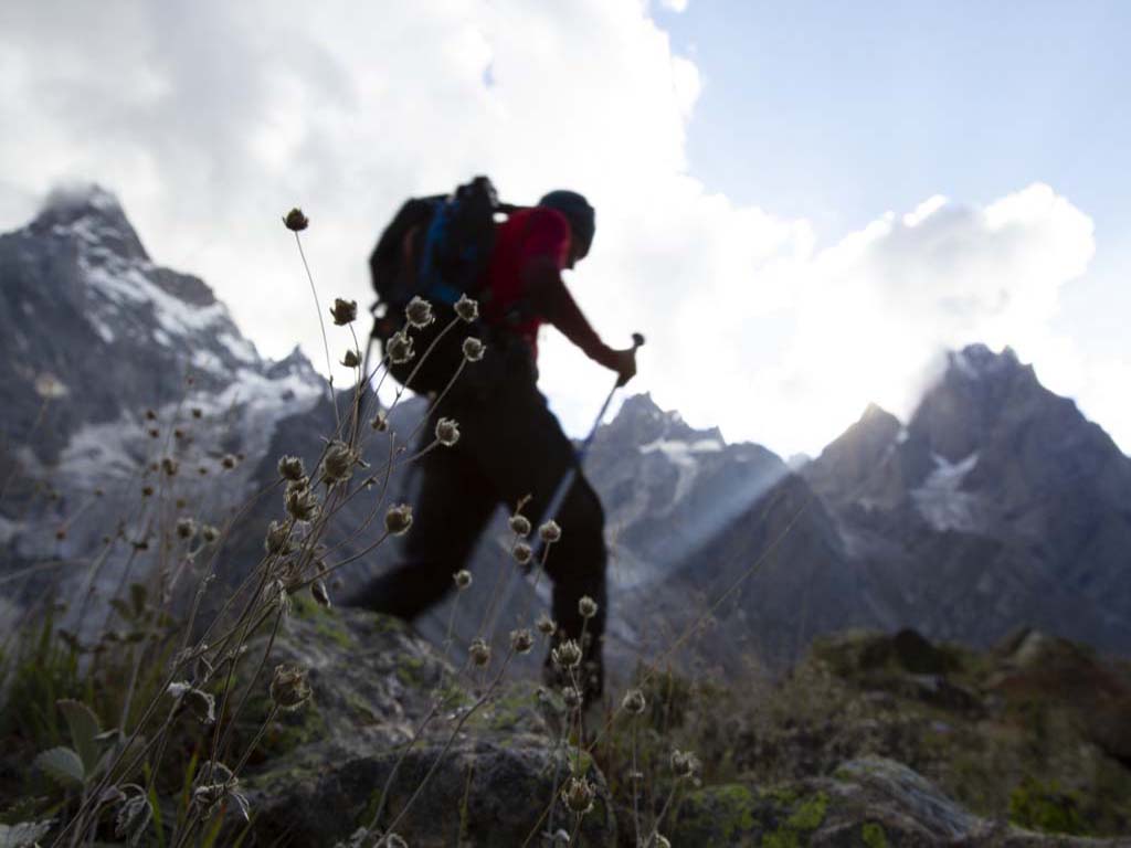
There are 5 sacred Kailash yatras that are regarded as the holiest of pilgrimages in the Hindu culture to seek the blessings of Lord Shiva and attain salvation. The Kinnaur Kailash (locally known as Kinner Kailash) at a height of 6050 meters is considered as sacred by both Hindu and Buddhist Kinnauris and is one of these 5 Kailash yatras. As per legend, five locations of Shiva’s abode are from a time when he had blessed a demon called Bhasmasur for his penance, by granting him the ability to turn anyone to ashes by placing his head on their head. The demon instead decided to use his gift against Lord Shiva for he sought to woo Shiva’s wife Parvati and in order to evade him, Lord Shiva kept changing his abode across the 5 Kailash mountains. The demon was eventually slayed by the wiles of Lord Vishnu, who in a female avatar managed to trick Bhasmasur into placing his hand on his own head! The Kinner Kailash yatra is a true test of endurance and is quite a difficult trek that crosses the high Charang La pass at 5300 metres with at least 3 days of wandering through barren moonscapes where you are unlikely to find anyone in sight! The trek is over scree slopes and makes it very difficult at the high altitudes we will move through. It is however extremely rewarding for experienced trekkers who wish to try something off the beaten path that tests their limits and gives them some fantastic panoramas of the Kinnauri Himalayas.
Short Itinerary
Day 1: Drive from Delhi to Shimla (350 Kms, 7 to 9 hrs), Overnight stay in hotel at Shimla
Day 2: Drive from Shimla to Rekon Peo (221 Kms, 7 to 8 hrs), Overnight stay in hotel at Rekon Peo
Day 3: Drive from Rekong Peo to Thangi 2730 mtrs (40 Kms, 1.5 hrs), Trek from Thangi to Lamber 2950 mtrs (8 Kms, 3 to 4 hrs), Overnight Camping
Day 4: Trek from Lamber to Charang 3510 mtrs (12 Kms, 4 to 5 hrs), Overnight camping at Charang
Day 5: Trek from Charang to Lalanti 4200 mtrs (8 Kms, 4 to 5 hrs), Overnight camping at Lalanti.
Day 6: Trek from Lalanti to Chhitkul 3450 mtrs via Charang Pass 5242 mtrs (28 Kms, 10 to 12 hrs), Overnight camping at Chitkul.
Day 7: Drive from Chitkul to Shimla (245 Kms, 7 to 8 hrs), Overnight stay in hotel at Shimla
Day 8: Drive from Shimla to Delhi (350 Kms, 8 to 9 hrs)
Essential: Do's and Don't / Things to Bring / Inclusion and Exclusion (PDF)
Kinner Kailash circuit Parikrama Trek - Fact and Info (PDF)
Kinner Kailash circuit Parikrama Trek - Detailed Itinerary (PDF)
Fact & Info
INTERESTING FACTS/INFORMATION ABOUT THE PLACE
Kinner Kailash range
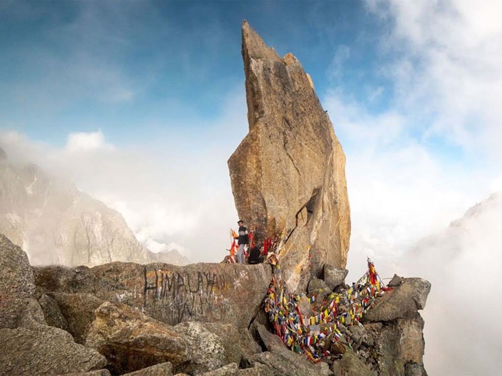
The Kinner Kailash (or Kinnaur Kailash) range is the main range of peaks fronting the Kinnaur region and rise up in stark, snow clad spires. The Jorkanden peak (6473 metres) is the tallest peak of the range and along with the neighboring Sarong Peak, it has not yet been climbed from the Kalpa side owing to its technically daunting nature. The peaks are best viewed from Kalpa where they stand majestically across the gorge, virtually an arm’s length away! From Kalpa in the morning, you can also see the rocky free standing Shivling of the Kinner Kailash peak that is considered sacred as being one of the five abodes of Lord Shiva as he sought to escape the rampaging Bhasmasur.
Sangla (the end region of our trek)Sangla lies in the Baspa valley of Himachal’s Kinnaur district, bordering Tibet to the East and Garhwal to the South. It lies along the Baspa river and is famous for its golden Kinnauri apples and high quality potatoes. It is also famous for its incredible wooden architecture, of which the Kamru Fort is a must-see as also the intricately carved Devi temple at Chhitkul, the last village on the Indo-Tibetan border. The old Indo-Tibetan highway also passes through Sangla and connects to the main National highway 22 at Karcham.
Culture and MythsThe beautiful green coloured patterned cap is the identity of the Kinnauri people and its design indicates the wearer’s social standing. The most interesting aspect of the Kinnauris is their origin with one of the theories linking them as descendants of Alexander, while a second theory suggests that they are ancient Iranians who crossed over and decided to carry on living here. There is also another myth that believes they are descendants of the Pandavas(Mahabharat) who are attributed with supernatural powers.
Kamru Fort and Kamakhya TempleThe Kamakhya Temple is a spectacular multistoried wooden temple at the topmost point of the Kamru Fort complex. The fort complex is a living (still inhabited) medieval village that is enclosed within the fort walls and has the typical Kinnauri architecture. You will find the streets paved with cobblestones leading onto quaint houses and ancient temples.
KalpaKalpa is a small but pretty town that lies 3 kms above Reckong Peo. The town is famous for its spectacular view of the snow capped Kinner Kailash range that stands across the river gorge and looks close enough to touch! The Shiva temple in the town is constructed in the traditional Kinnauri architecture style with stone walls and peaked roofs and stands against the backdrop of the mighty Kailash range. On the other side of the road, a short distance away lies the small Hu-Bu-Lan-Kar Buddhist monastery that also has intricate carvings and slate roofs and has a wonderful uninterrupted panoramic view of the mountains all around, owing to its elevation above the town.
Kinner Kailash circuit Parikrama Trek - Fact and Info (PDF)
Detailed Itinerary
Day 1: Drive from Delhi to Shimla (350 Kms, 7 to 9 hrs), Overnight stay in hotel at Shimla
Start early morning from Delhi around 5 am and head towards Chandigarh and then turn to Shimla which is around 350 Kms from Delhi. Reach Shimla and check in into a hotel and you can stroll around The Mall road and visit the Christ Church in the evening if you get time which will be followed by dinner.
Day 2: Drive from Shimla to Rekon Peo (221 Kms, 7 to 8 hrs), Overnight stay in hotel at Rekon PeoWe will be going to Rekong Peo via Sarahan and it will be a fairly long drive today so we need to get out early. The drive from Shimla to Sarahan begins climbing up to Kufri where we can take a short break to enjoy the spectacular panorama of the mountain ranges on the other side. From here we will proceed along the dense forested highway passing the towns of Fagu and Theog (famous for their apple orchards) as we gradually start descending towards the river side town of Rampur that lies on the banks of the Sutlej, flowing on our left. After Sarahan, the road will begin to climb. We will now be driving along rough roads that hang precariously to the mountain’s edge with rockfall warning signs prompting nervous glances up the steep mountain sides. This is rightly regarded as one of the more treacherous roads in the Himalayas and needs to be negotiated with caution. Watch out for an interesting feature along the way where an arch is cut out of the sheer rock face to accommodate the road under it making it look like a massive self suspended rock arch cantilevered uncomfortably above the road! A small shrine to the presiding deity is held in high esteem as being the divine force that keeps this impossible geometry stable! From here on, you can see the denuded hillsides made barren due to the alteration of the course of the river owing to the number of dams that have been built here. The most prominent among them is at Karcham where the road forks, with the right arm leading onto Sangla, Rakchham and then Chhitkul (the last roadhead on the Indo-Tibet route). We can stop here for a while and stretch our legs while marveling at the engineering marvel of the dam which is formed here. The power plant goes upto 7-8 storeys underground in the opposite mountain while below you can see the excess water gushing out of the thick pipes with enough force to cause a spray that reaches all the way up to the road! From here, the road will now carry on turning due left and will climb further until we finally reach the bustling town of Rekon Peo that is the main supply town for the Spiti region.
Day 3: Drive from Rekong Peo to Thangi 2730mtrs (40 Kms, 1.5 hrs), Trek from Thangi to Lamber 2950mtrs (8 Kms, 3 to 4 hrs), Overnight CampingEarly in the morning we begin our epic journey, starting with a rickety ride along the usual rough and broken roads of the region to reach Thangi. The small village of Thangi is situated precariously hanging high above a deep gorge fringed by the snow capped spires of the Kinnaru Kailash range. From here we will begin our trek moving along a path that gently ascends in the beginning for a while until we come to a trail hugging the cliff side, heading about 300 feet downwards along a rock fall. This trail leads down all the way to the river at the bottom of the gorge and then parallels it, until we finally reach the village of Lamber. The camp site is along the river, close to the ITBP post, while the village itself is higher up the rock face. It is a pretty village with very little influence from outside and is replete with apple orchards! We will explore the village and do a few easy ascents up the rock face to aid acclimatization, before we return to the camp for the night.
Day 4: Trek from Lamber to Charang 3510 mtrs (12 Kms, 4 to 5 hrs), Overnight camping at CharangToday’s trek will be a long one along the riverside, but the elevation differences are gradual and not very taxing. The terrain is dusty with boulders interspersed with short patches of thick hardy grass peeking through intermittently. We will take it easy in order to conserve energy to aid acclimatization for the higher altitudes ahead. Halfway along the journey, we will come across an ITBP camp where permits will be checked and visitor details registered. After a few more hours of further walking along the river, we finally sight the village of Charang with a pair of chortens marking the edge of the village. On the ridge overlooking the village, we can see the PWD Guest House that is well appointed and is an excellent vantage point for shutterbugs. Charang is the last village on this side of the Tibet border with the Rangrik Shungma monastery (considered the holiest in the region) about 2 hours away from here. We will take a break and refresh ourselves and then proceed towards the monastery. After having visited it, we will return back to camp and will retire for the night. (Alternatively, we can also visit the Charang Devi Temple which is closer – about a 45 minute steep climb up. This would be a better option if the group is tired or we reach Charang village late in the day)
Day 5: Trek from Charang to Lalanti 4200 mtrs (8 Kms, 4 to 5 hrs), Overnight camping at Lalanti.Today we will be reaching an altitude where AMS is a distinct possibility and thus all members should move at a pace that is comfortable to them. Also we need to cross a fairly fast flowing stream; hence it is advisable to leave camp early in order to have the water level low at the time of crossing. Also this is the point from where we will not see any sign of human company until we reach the end of our trek, so we will pretty much be having the amazing mountains all to ourselves! We will begin by climbing up to the Lalanti pass, which at 4420 metres is pretty tough going. The path is over irregular boulders and scree and begins its non-stop ascent pretty much just outside the village on the left. At a comfortable pace it should take about 4 hours to get to the pass and cross over and down the other side. The view from the top of the pass is spell binding and is just a precursor of what awaits at the top of the Charang La Pass that is at least 1,000 metres higher than this! (At approximately 17200 feet) On the other side, we will walk down to the banks of the gushing stream flowing past, which we will cross over at a suitable spot where the water is not too deep! After a further walk of about an hour or so along the river bed, we finally come to the camp area which is defined by a broken PWD shed and a small hut which is useful to take shelter during extreme conditions. Lalanti has a beautiful emerald green lake that looks spectacular amid the backdrop of the barren brown mountains. We will set up our camp here and will try to sleep as early as possible because tomorrow will be a real grind with a steep walk up to the Charang La Pass that stands tall like a sentinel awaiting our arrival.
Day 6: Trek from Lalanti to Chhitkul 3450 mtrs via Charang Pass 5242 mtrs (28 Kms, 10 to 12 hrs), Overnight camping at Chitkul.We have to begin as early as possible(ideally around 4 AM) since it is a very long and tough journey. The trail goes along the banks of the stream and is relatively flat to start with but is still difficult since it involves a fair amount of boulder hopping. As we keep getting closer to the Charang La Base, we can see the huge glacier field hugging the side of the pass with sharp, steep snow streaked mountains on both sides framing the desolate beauty. We will take a break at the base to catch our breath because the toughest part of the climb is about to begin shortly. The initial walk up the slope is reasonably easy and after a while we will come across a stream with a small pond alongside where it is advised to fill the water bottles since there are no further streams ahead. After a couple of more hours of climbing up along the boulders, we reach the Charang La Upper Base Camp where we can take a short break before pushing on. The final approach to the top of the pass is the most difficult and all participants are advised to wear helmets in order to protect themselves from the loose scree and boulders here. The climb is up through a gully that is extremely steep (almost 60-70 degrees) and is composed entirely of scree! Climbing along the right side using the boulders is a little bit easier but only upto halfway after which the boulders are probably much more dangerous as they can be dislodged very easily! This is the section where basic climbing skills and trekking experience is required since many a times, the scree under your feet is likely to get disturbed and you need to have a good sense of balance and concentration. The other danger is the possibility of getting injured by the scree and rocks getting dislodged by those above you and you need to be constantly watchful. The possibility of slipping might require the participants to rope up; this will be decided by the trek leader. The strenuous battle however is well worth the view from the top of the pass. All around you are the shining, proud snow clad peaks standing tall almost an arm’s length away! With sheer barren flanks on one side and green forested slopes in the distance. It is a breathtaking and a pretty rare view since this trek is very difficult and thus done very infrequently. The climb down is easier but is still quite difficult on the knees as you need to carefully scramble down the irregular boulders without twisting your ankle! After about a couple of hours we will encounter a stream where we can take a short rest and then proceed hurriedly on, aiming to get to Chitkul before it gets dark! A couple more hours and we finally encounter the trekking path that leads to Chitkul, the last Indian village on this side of the pass. It is a welcome sight as we drag our weary legs into the rest house and drop off for the night.
Day 7: Drive from Chitkul to Shimla (245 Kms, 7 to 8 hrs), Overnight stay in hotel at ShimlaTrek over; we now get packing for our return journey. We will be driving down to Shimla via Sangla, where we could halt for a short while to explore the Fantastic Kamru Fort and temple. The road out of Sangla leads along a dusty track that is fringed by rock crags on both sides while the Baspa river flows below on the left. The road will join the highway coming down from Kalpa on the right, while we take a left turn here and proceed along forward towards Shimla via Rampur, Narkanda and Kufri. At this turn, you will come across the massive dam constructed by the Jaypee group that is a marvel of technology, where they have diverted the flow of the Sutlej river itself to make it possible. The road will then start descending as it parallels the Sutlej river and the terrain will now be a lush green belt of trees cover with apple orchards higher up the slopes. To the right in the far distance, you will be able to see the snow capped mountain ranges as you climb up to Kufri. From Kufri it is again a descent that leads to Shimla where we will be halting for the night.
Day 8: Drive from Shimla to Delhi (350 Kms, 8 to 9 hrs)The drive from Shimla to Delhi is fairly straightforward with about an hour or two worth of winding roads down from Shimla till we reach Chandigarh, after which it is a flat fast drive through the plains via Ambala, Krukshetra and Panipat, to finally reach Delhi in pretty quick time.


