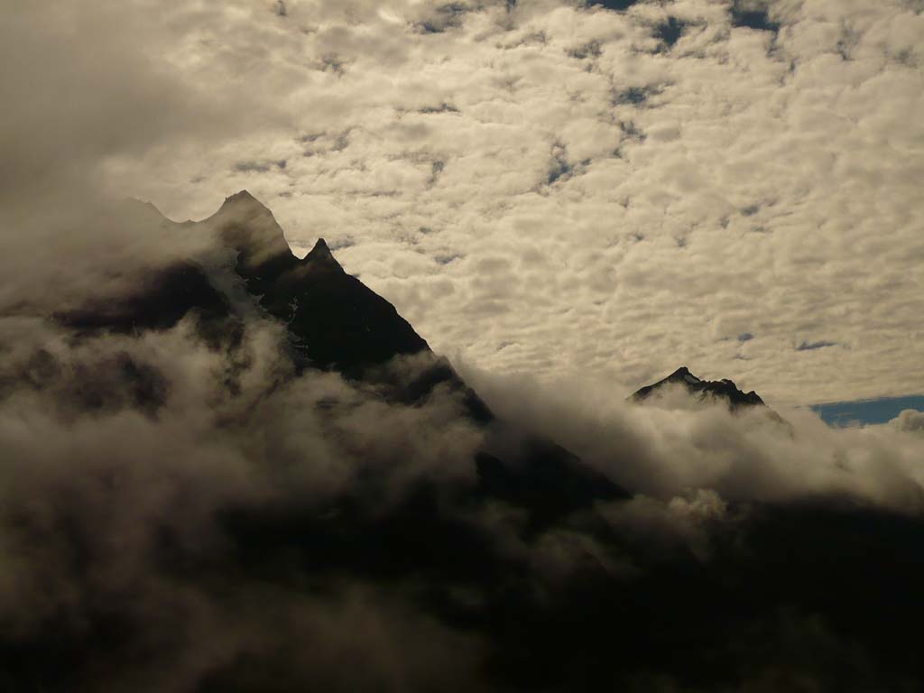
Pindari Glacier Trek
Brief Description
Overview
Region: Bageshwar District (Uttarakhand)
Trekking Altitude: Max (3750 mtrs)
Grade: Easy to Moderate
Total Trekking Distance: 82 Kms
Best Season: May June and mid September to mid November
Temperature Range: -2°C to 28°C.
Brief Information
The Pindari Glacier is the source of the Pindar river which further meets with the Alaknanda river at Karnaprayag, which later forms the mighty Ganga. It is one of the many glaciers in and around the Bageshwar district of Uttarakhand that are not as popular on the tourist circuit and thus are hidden gems for the traveler who seeks an easy trek that takes him/her right to the midst of the mighty Himalayas on a rarely trodden trail. The trek by itself is quite easy, mostly leading through lush forests teeming with flora and fauna and especially birds and butterflies, which seem to thrive in the sylvan surroundings. It is an ideal family trek owing to its ease and also because it is much easier than your traditional trek as it is a “tea house” trek with small tea stalls along most of the route and also tourist lodges and guest houses along almost every point, making for a more comfortable stay as compared to tents in the open. The ascent is also not too much and hence acclimatization is pretty easy. The best part about this seemingly simple trek is the view of the snow peaks from the final point – the Zero Point where you are almost at the base of the massive peaks without having actually gained much altitude! It is the perfect trek to undertake, especially for new trekkers as it offers pretty much everything – dense forests, varied wildlife, ample rivers and stream crossings, and the final experience of walking on the 5 km long and 1.5 km wide snow covered Pindari glacier and its neighboring snow fields.
Short Itinerary
Day 1: Drive from Delhi to Rishikesh (250 Kms, 5 to 7 hrs), Overnight stay in hotel at Rishikesh
Day 2: Drive from Rishikesh to Joshimath (255 Kms, 7 to 8 hrs), Overnight stay in hotel at Joshimath
Day 3: Drive from Joshimath to Dhak (14 Kms, 30 mins), Trek from Dhak2100 mtrs to Gulling2450 mtrs(8 Kms,4 to 5 hrs) , Overnight camping
Day 4: Trek from Gulling to Tali/Khullara 3100 mtrs (6 Kms, 3 to 4 hrs), Overnight Camping
Day 5: Trek from Tali/Khullara to Kuari pass 3640 mtrs and back to Tali(15 Kms, 7 to 8 hrs), Overnight Camping.
Day 6: Trek from Tali /Khullara to Auli 2750 mtrs (13 Kms, 5 to 6 hrs), Drive from Auli to Joshimath (15 Kms, 30 mins), Overnight stay in hotel at Joshimath
Day 7: Drive from Joshimath to Haridwar (275 Kms, 7 to 8 hrs), Overnight stay in hotel at Haridwar
Day 8: Drive from Haridwar to New Delhi (215 Kms,5 to 6 hrs)
Essential: Do's and Don't / Things to Bring / Inclusion and Exclusion (PDF)
Pindari Glacier Trek - Fact and Info (PDF)
Pindari Glacier Trek - Detailed Itinerary (PDF)
Fact & Info
INTERESTING FACTS/INFORMATION ABOUT THE PLACE
Bageshwar
The township of Bageshwar in Eastern Uttarakhand is revered as a holy land for its association with Lord Sadashiva, an avatar of Lord Shiva. In the puranas, the land is supposed to be capable of liberating one from the eternal bondage of death and rebirth. Bageshwar is flanked by the Bhileshwar and Nileshwar mountains on the east and west and the Suraj Kund and Agni Kund in the North and South.
Baijnath TemplesNot to be confused with the temple of the same name in Kangra, this is a group of beautiful temples along the Gomti river banks in Bagehwar district. They are not much frequented by travelers and are spectacular for offbeat photography. The temples are dedicated to Lord Shiva and were built in 1150 AD by the Kumaon Katyuri king. The complex is built on a raised stone platform and has a number of temples with idols of Shiva, Ganesh, Parvati, Chandika, Kuber, Surya and Brahma. The idol of Parvati in the main temple is quite unique, exquisitely chiseled out of black rock.
Bhagwati Mata Kot Bhramri Devi TempleAbout 2 kms from the Baijnath temple, lies the Bhagwati Mata Kot Bhramri Devi temple. The local legend believes that the face of the Goddess in the temple should not be shown to anyone except the priest else the entire valley will face bad luck and disaster. This makes it uniquely the only temple where the backside of the Goddess is worshipped. The only exception is during the 12 year event of Raj Jaat yatra when all avatars of Nanda Devi are worshipped and taken along on the pilgrimage upto Roopkund and beyond.
BinsarBinsar is a small town that lies 33 kms from the capital of Kumaon, Almora and is famed for its wildlife sanctuary. It is sparsely in habited and revels in thick pristine oak forests, making it a wonderful haunt to escape to! From the ridge called Zero Point, one can get an uninterrupted view of the Kumaon mountain peaks such as Kedarnath, Trishul, Nanda Devi and Shivling.
KausaniKausani is a hidden gem in the Bageshwar district of Uttarakhand and is famed for its unparalleled views of the Himalayas. Its height at 1890 metres amid thick pine forests makes it a truly charming hill station, reminiscent of the beautiful towns in the European Alps. The highest point here commands a clear panorama all across the entire horizon of the Himalayan peaks for nearly a 300 km visual range! Some of the easily identifiable peaks seen from here are Trishul, Panchchuli and Nanda Devi.
RanikhetRanikhet is a beautiful hill station and cantonment town close to Almora and Bageshwar. Its names (Queen’s Meadow) comes from a local legend that believes that the local King Raja Sudhardev won his queen Rani Padmini’s heart in this very meadow and she chose to have a palace built here(there is however no sign of a palace now) When in Ranikhet it is well worth visiting the Golf Course that is one of the highest in Asia. It is a nine hole course situated on a flat meadow atop a ridge with spectacular uninterrupted views of the snow capped Himalayan range from virtually every point on the course! The Golf course also offers memberships for outsiders that are highly sought, just to get a chance to play on the beautiful sylvan green surroundings amid extremely pleasant climate almost all round the year (except in winters!)
Pindari Glacier Trek - Fact and Info (PDF)
Detailed Itinerary
Day 1: Drive from Delhi to Bageshwar (450 Kms, 10 to 12 hrs), Overnight stay in hotel at Bageshwar.
This is a very very long drive indeed and we will need to leave very very early to make the most of traffic! We will leave via Moradabad bypass to minimize traffic and turn onto the Uttarakhand highway at Rampur. From here on the road leads straight up towards Bageshwar crossing through the forests of the Jim Corbett national park at Ramnagar, after which we begin our climb into the Himalayan foothills. The road now ascends up all the way to the beautiful town of Ranikhet with its mesmerizing 180 degree panorama of the snow peaks and then goes further into the forested slopes, all the way upto the town of Bageshwar. Unfortunately today would have been too long a journey to think of exploring this beautiful town and most members are likely to check in and have dinner and just relax tonight.
Day 2: Drive from Bageshwar to Loharkhet 1829 mtrs (40 Kms, approx 2 hrs), Trek from Loharkhet to Dhakuri 2683 mtrs (9 Kms, 4 to 5 hrs), Overnight camping/stay in guest house at Dhakuri.From Bageshwar we take a rough and rutted narrow trail that leads up into the mountains to the north east. The 40 kms journey is ascending for the most part, through the beautiful countryside all the way up until the village of Loharkhet from where we will begin our trek. The trek begins from Loharkhet along a well defined trail with stone paving the lush mountainside covered on either side with lush grassy patches and trees of various types. It is an open trail with minimal tree cover around the path itself but the views of the deep valley behind us are fantastic, dappled bright green far below dotted with dark green patches of forest all the way. The route is devoid of habitation other than a few houses around Loharkhet and then around Dhakuri, making this a peaceful, albeit strenuous walk up! As we finally ascend to Dhakuri Top, a small pass that leads to Pindar valley, the beautiful Himalayan peaks come into view. In front of the peaks, on the route leading on towards Dhakuri, we can see rolling green meadows with dense oak forests around their periphery. The most impressive peaks from here is the Maiktoli with its triangular face along an edge of the massive sheer snow covered rock ridge that extends away from it like a formidable barrier. Some of the other peaks visible from here are the Panwalidwar and the Nanda Khat, both peaks that are usually not visible along the other more popular treks. The walk down to Dhakuri is fairly easy and we will look to settle in the guest house here. Dhakuri is a beautiful little village with dense forest around it that houses a wide variety of beautiful, brightly coloured birds that are a delight to spot and photograph.
Day 3: Trek from Dhakuri to Khati 2210 mtrs (10 Kms, 5 to 6 hrs), Overnight stay in guest house/camping at Khati.The walk to Khati village is a fairly easy of 10 kms with the initial trail leading into the beautiful dense forest at Dhakuri. After a while, the trek opens up and exits the forest and proceeds downwards along a well marked open trail. In front of us and around us, we will see multiple ridges of forested hills with the snow capped peaks in the distance just about visible behind them. Just before Khati, we come across the village of Dau. This is where trekker take the road to Jatoli and then onto the Sundardhunga glacier. We however will carry on straight towards Khati village. Just before we arrive at the village, we will be able to see it in the distance, with fields of potato and rye spread out in well maintained terraces. Khati is the last inhabited village we will pass enroute to the glacier and is fairly large in size (the largest in the region) We will either camp or check into one of the various lodging options available here and enjoy the view of the peaks that can be seen along the horizon, with the Nandabaner, Laspadhura and the Nandakhat being the distinct ones.
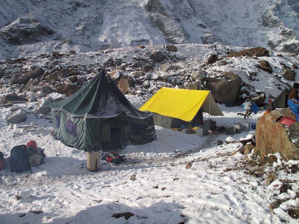
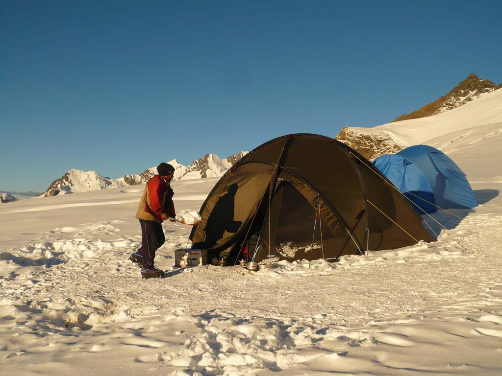
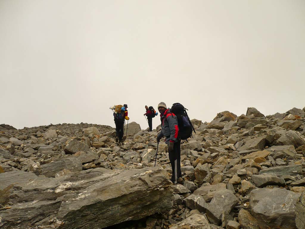
Day 4: Trek from Khati to Phurkiya 3260 mtrs (16 Kms, 7 to 9 hrs), Overnight camping at Phurkiya.The trail from Khati to Phurkiya is extremely beautiful as most of it is through dense forests, moving along by the side of the Pindar river. The trail undulates, sometimes going up a ridge to descending down until we are almost at the river bank. Thanks to the dense forest, the weather here is pretty chill and precipitation in the form of rain or hail can happen at any time! We will carry on along the lovely wooded path for about 7-8 kms until you will have to cross the Pindar river and then ascend up the opposite side for a while until you reach the ridge where you finally come across the Dwali, a bowl shaped flat land surrounded almost completely by lush green wooded slopes. The snow peaks that had been visible so far are now hidden with only Maiktoli visible from here. Dwali is known as being the confluence point between the Kafni and the Pindar river and is a common point for the Pindari as well as the Kafni glacier treks both of which basically run parallel along the rivers till you reach their origin. After a short break we carry on towards Phurkiya which is only 5 kms ahead. The walk is fairly gentle and easy but the ascent is constant, as can be deduced from the vegetation. The tall oak trees give way to rhododendrons as we continue climbing upwards. After a while of hiking we will be able to spot a magnificent view of Nandakhat and Nanda Devi East spread across majestically on the horizon. We continue walking up and will keep crossing a few minor streams until we reach the first of the two meadows that we will see. These are the usual high altitude bugyals, beautiful green lands with the white peaks at the back. We will walk through the first meadow and reach the next one which is capped by a dense rhododendron forest. Pass through the forest and finally you come to the trickiest section, a climb up a scree and fractured wall that may require basic climbing skills and should be done carefully and with the help of the trek leader and experienced members. Once this section is crossed, it is on to the final stretch to Phurkiya – the campsite where we will setup camp. The horizon is dominated by the dramatic Mt. Nandakhat steepling away like an angled wall angling left and rising towards the heavens! .
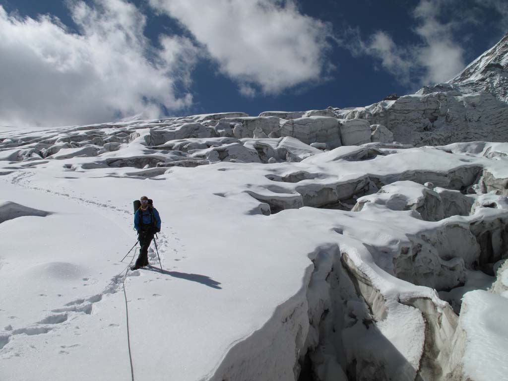
Day 5: Trek from Phurkiya to Zero point 3750 mtrs and then back to Dwali 2734 mtrs (17 Kms, 9 to 10 hrs), Overnight camping at Dwali.We need to get up early in the morning to ensure we have clear skies and catch the morning sunrise on the peaks. The weather which is quite tricky in these parts is also much more predictable in the mornings! We begin very early in the morning along the meadow and cross a stream that is usually frozen unless it is pretty hot! The trail moves along the left parallel to the Pindar river that flows deep in the gorge on our left below. We move a bit further and you can see snow patches becoming visible as we are getting closer to the glacier. The first snow peak on our left is Mt. Bauljuri that welcomes you as you move further towards the right. We will now see a long snow ridge which we will look to traverse and climb up. From the top we can see the snow filed that is Pindari Glacier while on the right is the formidable peak of Mt Changuch looming above us! Pindari baba’s hut is on the left with a temple in its vicinity and has a beautiful view of the snow walls all around us(we will visit the hut on our way back). For now we carry on ahead for about 45 minutes till we reach the Zero Point on top of a ridge with a board validating it! The effort to reach Zero Point is well worth it with a sight of the 5 km long pristine Pindari Glacier below us and the epic panorama of peaks arrayed in a 270 degree panorama, all at virtually an arm’s length away! The prominent peaks visible from here are Mt. Baljuri, Panwali Dwar, Nandakhat, Changuch, Nandakot and a huge number of unnamed peaks. It is indeed a beautiful sight and will keep us all mesmerized until it is time to return. We will now return all the way to Dwali, but first will stop by the Pindari Baba’s hut and pay our respects to him. The baba is quite a unique person who spends 10 months here amid the snow and through all the climatic vagaries, and cooks breakfast for the trekkers to Pindari glacier. The rest of the months he is off touring various places, collecting funds for his philanthropic work. From the ashram, it will take about 4-5 hours to descend, passing by Phurkiya and descending all the way till we are back in the forested bowl of Dwali where we will camp for tonight after a long, busy day that has been witness to come spectacular views and experiences.
Day 6: Trek from Dwali to Dhakuri (21 Kms, 7 to 8 hrs), Overnight stay in guest house at Dhakuri.Today is an extremely long walk but the advantage is that it is pretty much all a descent through the forest. We will take frequent breaks along the Pindar river and enjoy the walk all the way back, past Khati until we finally reach the beautiful village of Dhakuri again where we will halt for the night.
Day 7: Trek from Dhakuri to Loharkhet (9 Kms, 3 to 4 hrs), Drive from Loharkhet to Ranikhet (140 Kms, 4 to 5 hrs), Overnight stay in hotel at RanikhetThe trek from Dhakuri is along the same stone paved trail that leads down to Loharkhet with the beautiful valley spread out before us deep below. From Loharkhet we drive to the town of Ranikhet and if we are there early we can explore it a bit and visit the Naukuchia Tal or any of the temples that dot the town.
Day 8: Drive from Ranikhet to Delhi (350 Kms, 8 to 9 hrs)The route to Delhi is pretty straightforward and quite pretty to start with, passing via Ramnagar, then onto Rampur from where we can decide whether to go via Moradabad bypass or via Sambhal, based upon the traffic conditions.
